


(log in to access this feature)
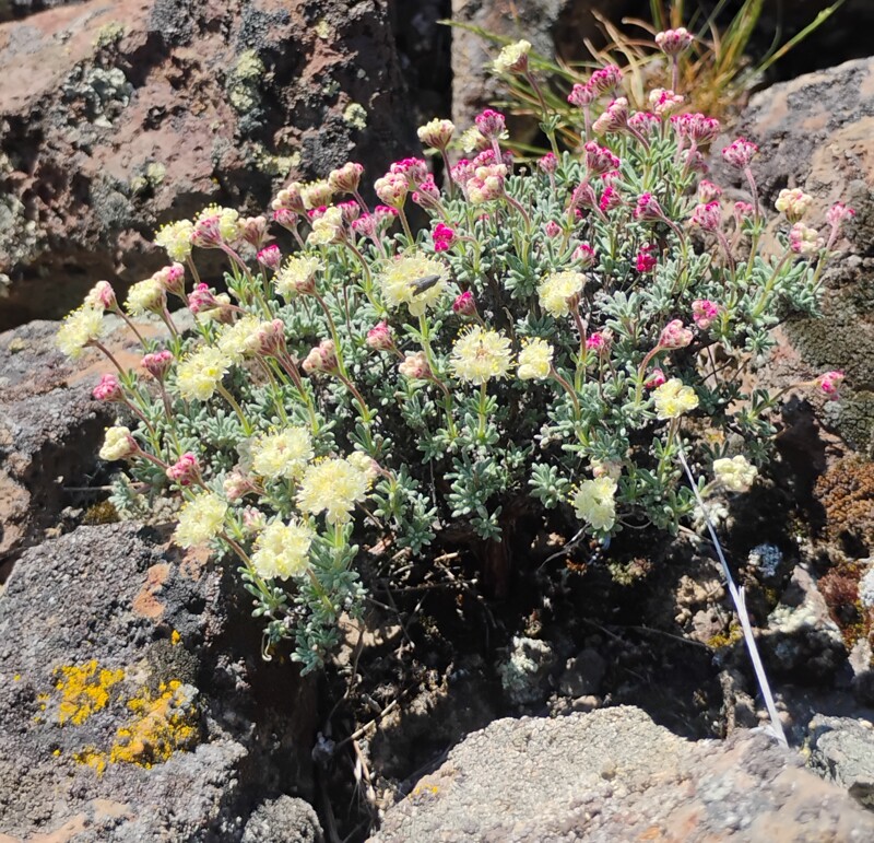
Photo © 2026 David Giblin. Usage restrictions: CC-BY-Attribution. You are free to use, distribute, remix, tweak, and build upon this work, even commercially, as long as you credit the photographer. For more information see: https://creativecommons.org/licenses/.
(Contact the photographer.)
Photo metadata:
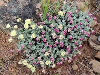
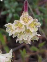
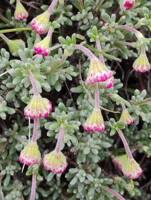
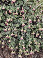
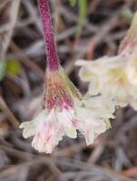
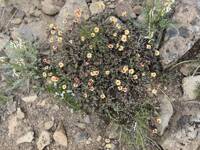
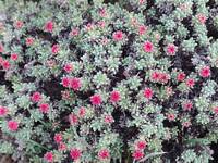
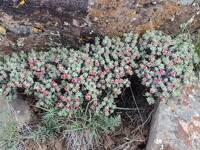
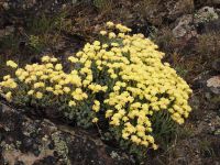
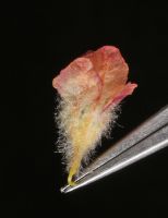
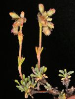
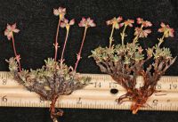
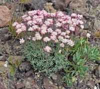
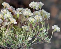
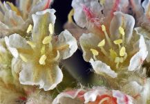
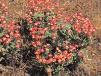
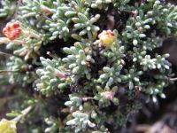
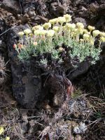
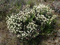
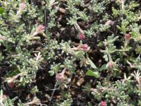
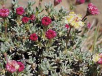
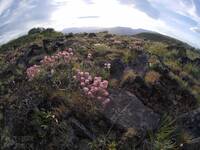
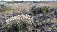
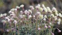
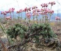
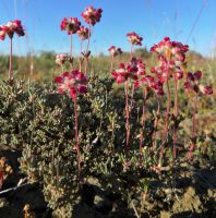
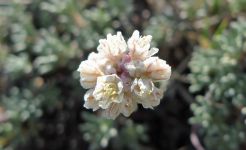
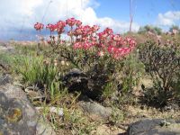
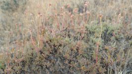
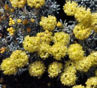
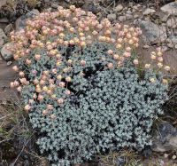
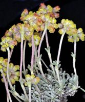
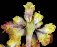
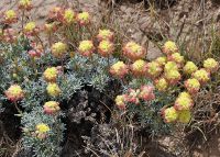
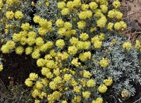
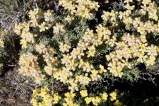
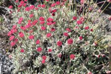
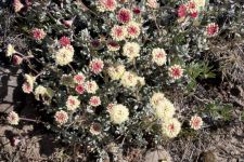
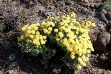
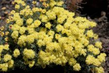
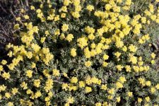
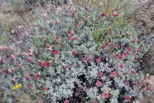
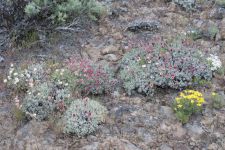
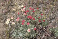
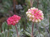
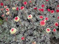
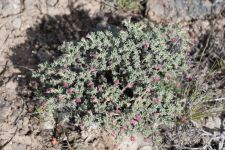
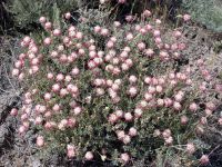
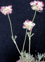
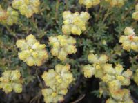
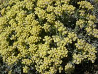
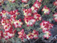
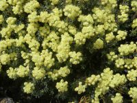
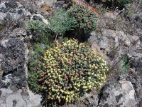
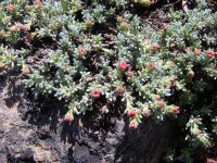
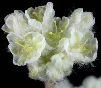
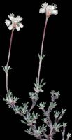
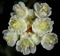
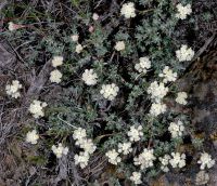
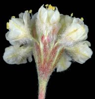
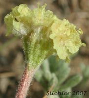
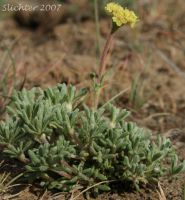
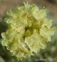
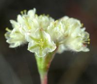
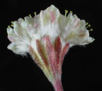
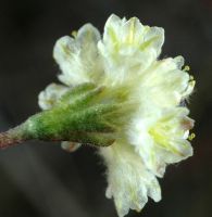
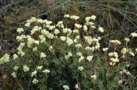
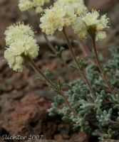
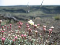
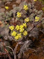
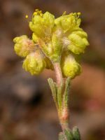
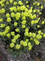
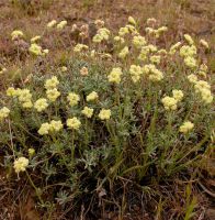
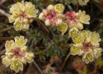
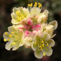
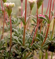
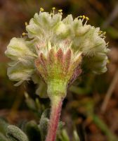
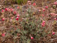
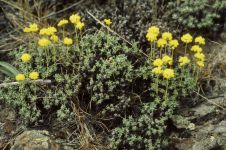
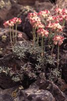
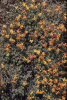
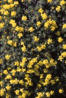
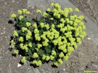
Original identification: Eriogonum thymoides
Current identification: Eriogonum thymoides
Photographer: David Giblin
Date Photographed: April 7, 2026
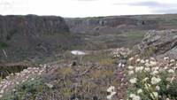
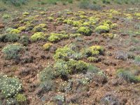
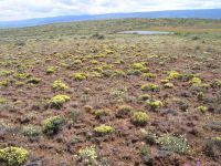
Location: U.S.A., Washington, Grant County: Potholes Coulee.
Elevation: 225 m.
Coordinates: 47° 8' 50.68" N, 119° 59' 18.44" W
Uncertainty: 5 m.
Datum: WGS 84
Coordinate Source: GPS
Phenology: Flowers