


(log in to access this feature)
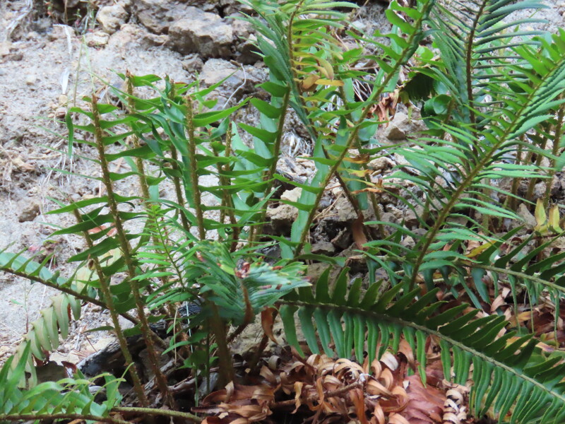
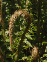
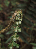
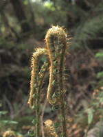
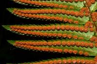
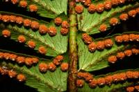
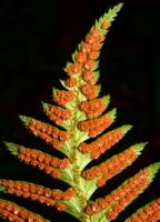
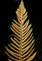
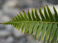
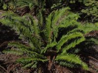
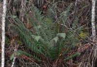
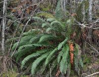
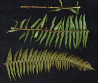
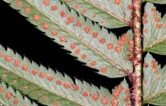
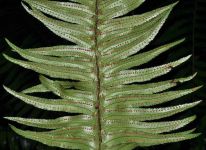
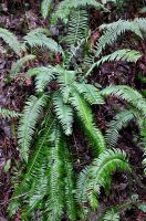
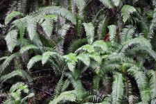
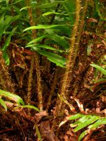
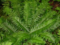
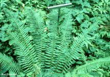
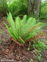
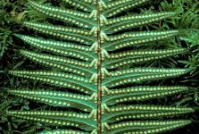
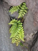
Photo © 2024 Thomas Belfield. Usage restrictions: free use (Contact the photographer.)
Photo metadata:
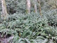
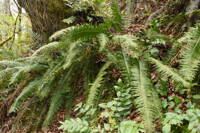
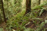
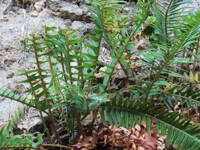
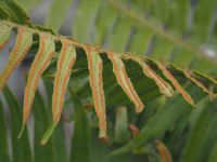
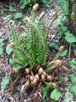
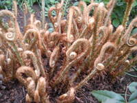
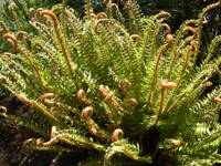
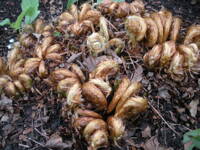
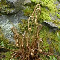
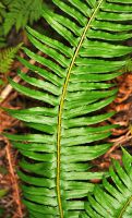
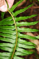
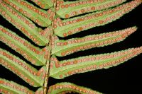
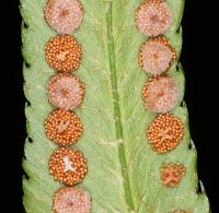
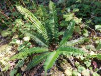
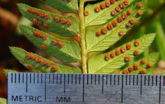
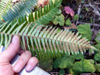
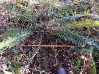
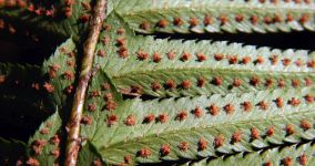
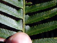
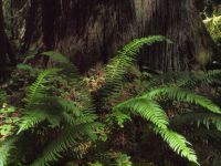
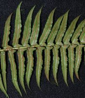
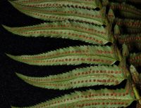
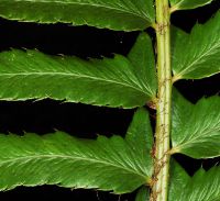
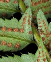
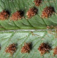
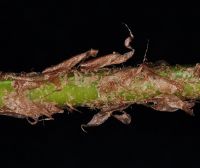
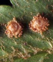
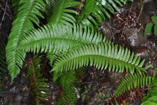
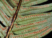
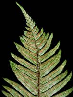
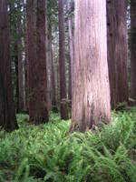
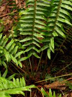
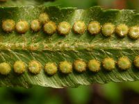
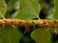
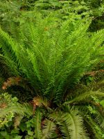
Original identification: Polystichum minutum
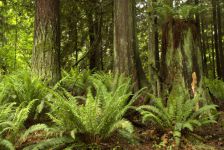
Current identification: Polystichum munitum
Photographer: Thomas Belfield
Date Photographed: August 10, 2024
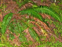
Location: U.S.A., Washington, Yakima County: Little Naches River watershed
Elevation: 3600 ft.
Coordinates: 47.058556° N, 121.198626° W
Phenology: Vegetative
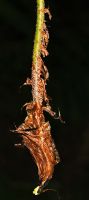
Comments: plant browsed