

(log in to access this feature)

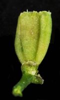
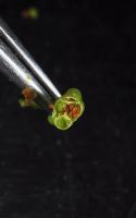
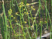
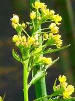
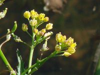
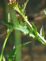
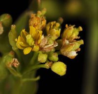
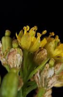
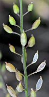
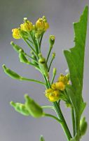
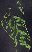
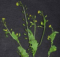
Photo © 2025 Dave Hayden. Please contact the photographer to request permission to use this photo. If the photographer cannot be reached, inquire with the Collections Manager.
Photo metadata:
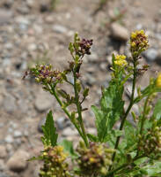
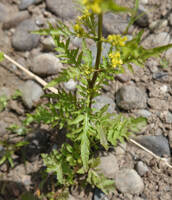
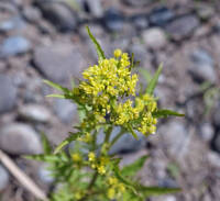
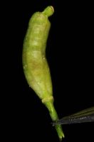
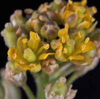
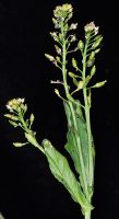
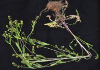
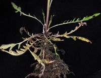
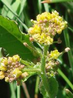
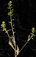
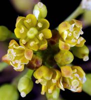
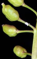
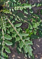
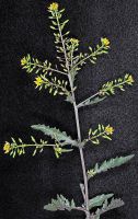
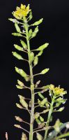
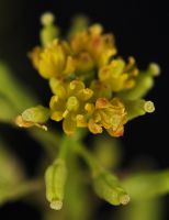
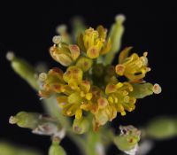
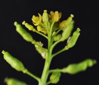
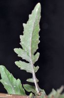
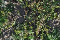
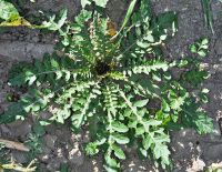
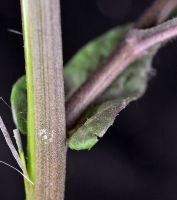
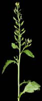
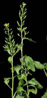
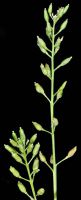
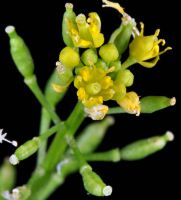
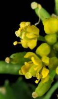
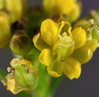
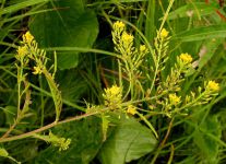
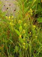
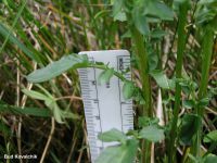
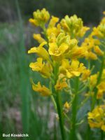
Original identification: Rorippa palustris
Current identification: Rorippa palustris
Photographer: Dave Hayden
Date Photographed: July 4, 2025
Location: U.S.A., Washington, Lewis County: Shore of the Chehalis River.
Elevation: 44 m.
Coordinates: 46.75201° N, 123.029148° W
Uncertainty: 10 m.
Datum: WGS 84
Coordinate Source: GPS
Phenology: Flowers