
(log in to access this feature)
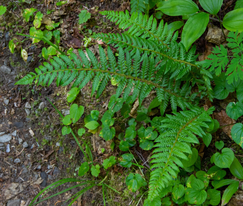
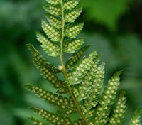
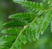
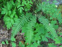
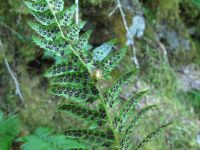
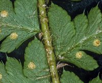
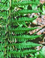
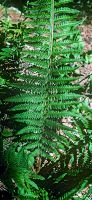
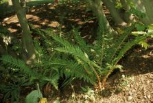
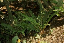
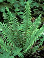
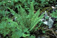
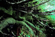
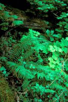
Photo © 2020 Dave Schuett-Hames. Please contact the photographer to request permission to use this photo. If the photographer cannot be reached, inquire with the Collections Manager.
Photo metadata:
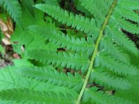
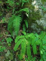
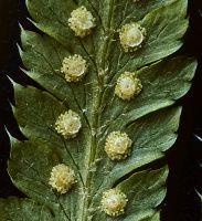
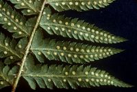
Original identification: Polystichum andersonii
Current identification: Polystichum andersonii
Photographer: Dave Schuett-Hames
Date Photographed: July 25, 2020
Location: U.S.A., Washington, Jefferson County: Slope along WF Dosewallips trail near small stream.
Elevation: 3050 ft.
Coordinates: 47.713875° N, 123.30127° W
Uncertainty: 50 m.
Datum: WGS 84
Coordinate Source: Digital Map
Phenology: Vegetative