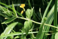
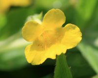
(log in to access this feature)
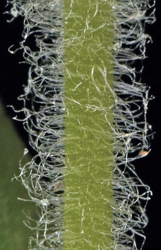
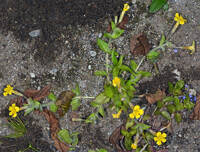
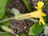
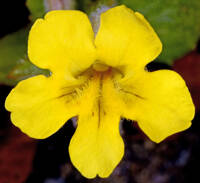
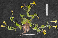
Photo © 2023 Gerald D. Carr. Usage restrictions: Photos may be used without prior permission for strictly personal use or classroom instruction. Prior permission is required for any profit-seeking or commercial use, including books, printed material, computer programs, web sites, or any use in which the photos will be publicly accessible. (Contact the photographer.)
Photo metadata:
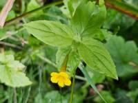
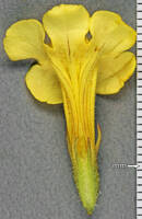
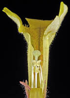
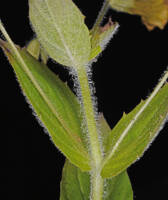
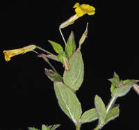
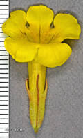
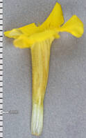
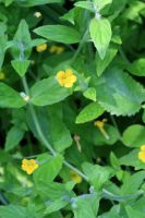
Original identification: Erythranthe ptilota
Current identification: Erythranthe ptilota
Photographer: Gerald D. Carr
Date Photographed: 2023
Location: U.S.A., Oregon, Curry County: Mouth of Myers Creek, off Hwy 101, 7.8 mi. S of Gold Beach.
Elevation: 279 ft.
Coordinates: 44.54129° N, 123.30497° W
Uncertainty: 5 m.
Datum: WGS 84
Coordinate Source: GPS

