(log in to access this feature)

Photo © 2012 Wynn Anderson. Please contact the photographer to request permission to use this photo. If the photographer cannot be reached, inquire with the Collections Manager.
Photo metadata:
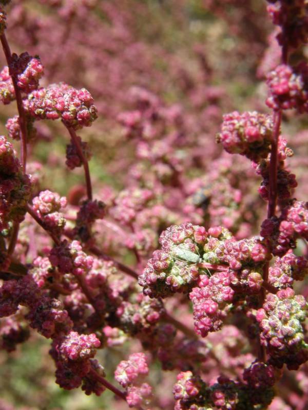
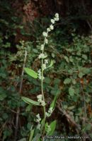
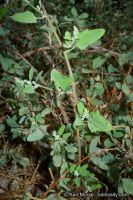
Original identification: Chenopodium fremontii
Current identification: Chenopodium fremontii
Photographer: Wynn Anderson
Date Photographed: September 18, 2012
Location: U.S.A., Arizona, Cochise County: Forest Service road FS 42D, 1.4 mi. S of Onion Saddle junction at FS 42, 1.5 mi. N of Rustlers Park campground, Chiricahua Mts.
Elevation: [not provided]
Coordinates: 31.9181° N, 109.2641° W
Phenology: Fruits
Comments: This image has a Creative Commons Attribution-NonCommercial-ShareAlike 3.0 (CC BY-NC-SA 3.0) license. If you have questions, contact Wynn Anderson wanderson@UTEP.edu.


