(log in to access this feature)
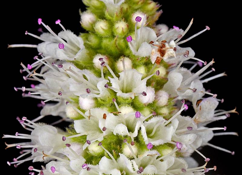
Photo © 2021 Gerald D. Carr. Usage restrictions: Photos may be used without prior permission for strictly personal use or classroom instruction. Prior permission is required for any profit-seeking or commercial use, including books, printed material, computer programs, web sites, or any use in which the photos will be publicly accessible. (Contact the photographer.)
Photo metadata:
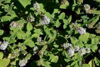
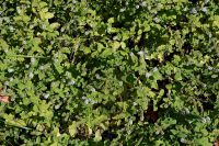
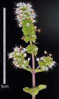
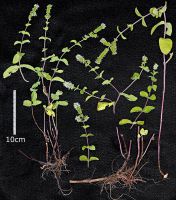
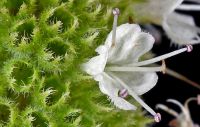
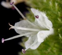
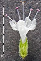
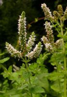
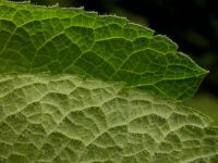
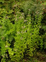
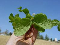
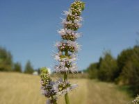
Original identification: Mentha suaveolens
Current identification: Mentha suaveolens
Photographer: Gerald D. Carr
Date Photographed: 2021
Location: U.S.A., Oregon, Benton County: Corvallis; Ditch on N side of Hwy 20, ca. 100 yds. E of jct. with SW 35th Street
Elevation: 240 ft.
Coordinates: 44.55467°, -123.28837°
Datum: WGS84
Coordinate Source: GPS
Phenology: Flowers
latdegrees: 44.55467
latminutes:
latseconds:
longdegrees: 123.28837
longminutes:
longseconds:

