(log in to access this feature)
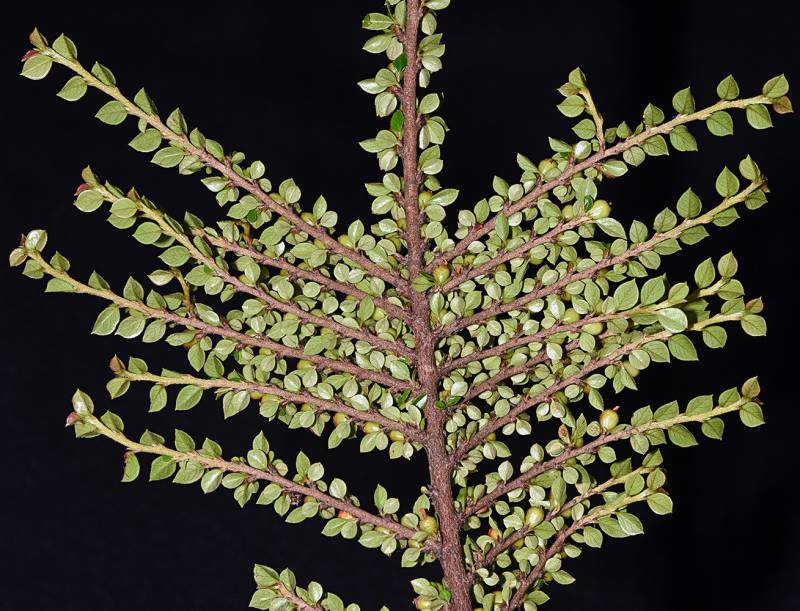
Photo © 2022 Gerald D. Carr. Usage restrictions: Photos may be used without prior permission for strictly personal use or classroom instruction. Prior permission is required for any profit-seeking or commercial use, including books, printed material, computer programs, web sites, or any use in which the photos will be publicly accessible. (Contact the photographer.)
Photo metadata:
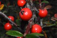
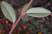
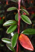
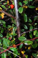
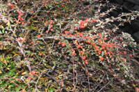
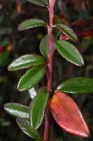
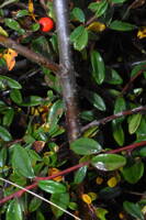
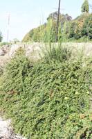
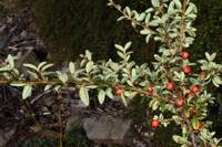
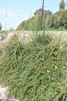
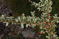
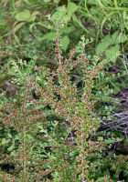
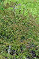
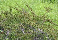
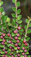
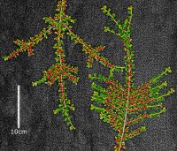
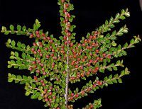
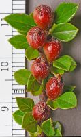
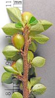
Original identification: Cotoneaster horizontalis
Current identification: Cotoneaster horizontalis
Photographer: Gerald D. Carr
Date Photographed: June 19, 2022
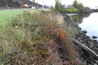
Location: U.S.A., Oregon, Benton County: Corvallis; E side of Chip Ross St. Park Trail, 212 air m NE of jct. of NW 29th St. & NW Bunting Dr.
Elevation: 505 ft.
Coordinates: 44.60467°, -123.28539°
Datum: WGS84
Coordinate Source: GPS
Phenology: Vegetative
latdegrees: 44.60467
latminutes:
latseconds:
longdegrees: 123.28539
longminutes:
longseconds:

