(log in to access this feature)

Photo © 2022 Gerald D. Carr. Usage restrictions: Photos may be used without prior permission for strictly personal use or classroom instruction. Prior permission is required for any profit-seeking or commercial use, including books, printed material, computer programs, web sites, or any use in which the photos will be publicly accessible. (Contact the photographer.)
Photo metadata:
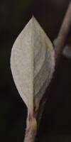
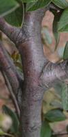
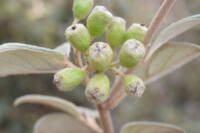
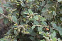
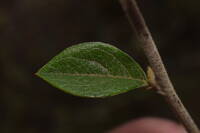
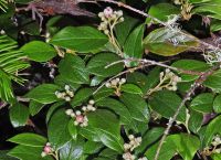
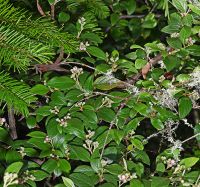
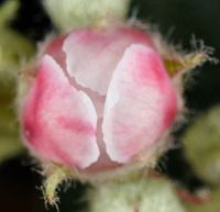
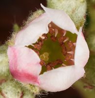
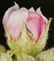
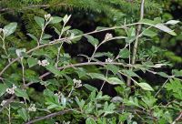
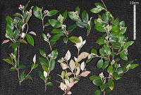
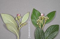
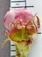
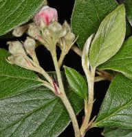
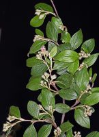
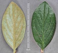
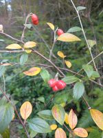
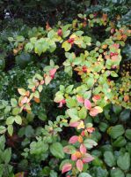
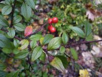
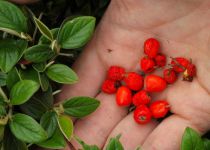
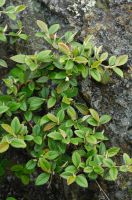
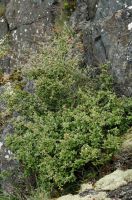
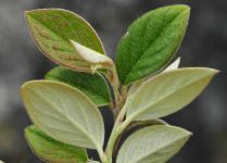
Original identification: Cotoneaster franchetii
Current identification: Cotoneaster franchetii
Photographer: Gerald D. Carr
Date Photographed: June 23, 2022
Location: U.S.A., Oregon, Benton County: 0.12 air mi. NW of jct. of NW Jackson Creek Dr. (Rd. 612) & Rd. 610, McDonald Forest, 3.8 air mi. NNW of Corvallis
Elevation: 477 ft.
Coordinates: 44.61473°, -123.29338°
Datum: WGS84
Coordinate Source: GPS
Phenology: Flowers
latdegrees: 44.61473
latminutes:
latseconds:
longdegrees: 123.29338
longminutes:
longseconds:

