(log in to access this feature)
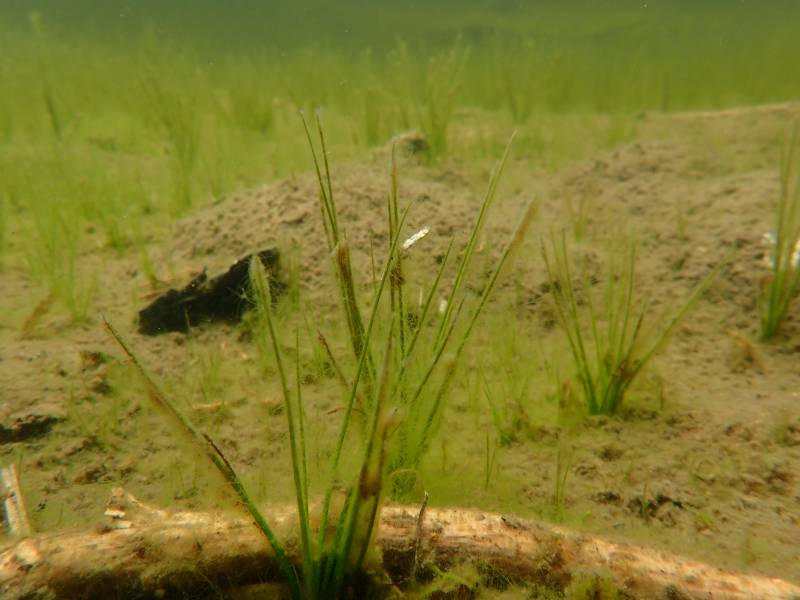
Photo © 2021 Regina Johnson. Usage restrictions: Permission granted to use photos for nonprofit, educational use. (Contact the photographer.)
Photo metadata:
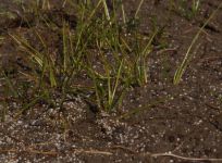
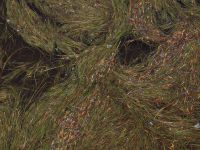
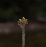
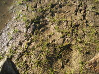
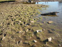
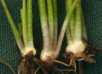
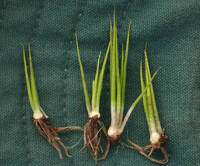
Original identification: Isoetes occidentalis
Current identification: Isoetes bolanderi
Photographer: Regina Johnson
Date Photographed: July 23, 2021
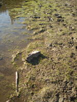
Location: U.S.A., Washington, Jefferson County: Wynoochee Pass, pond bottom.
Elevation: 3600 ft.
Coordinates: 47.532778° N, 123.534722° W
Uncertainty: 5 ft.
Datum: WGS 84
Coordinate Source: GPS
Comments: Locally common at bottom of both ponds (headwaters of Graves Creek). Soft silty sediment. Old-growth forest of Callitropsis nootkatensis, Tsuga mertensiana, and Abies amabilis.


