(log in to access this feature)

Photo © 2009 Gerald D. Carr. Usage restrictions: Photos may be used without prior permission for strictly personal use or classroom instruction. Prior permission is required for any profit-seeking or commercial use, including books, printed material, computer programs, web sites, or any use in which the photos will be publicly accessible. (Contact the photographer.)
Photo metadata:
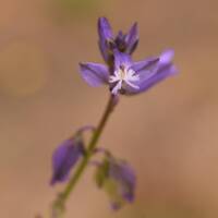
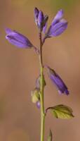
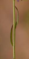
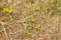
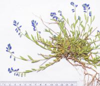
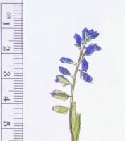
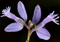
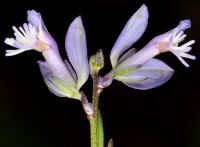
Original identification: Polygala vulgaris
Current identification: Polygala vulgaris
Photographer: Gerald D. Carr
Date Photographed: July 21, 2009
Location: U.S.A., Oregon, Coos County: E side of Hwy. 101, ca. 1.2 mi. N of Hauser
Elevation: 100 ft.
Coordinates: 43.50977° N, 124.21737° W
Phenology: Flowers and Fruits

