(log in to access this feature)
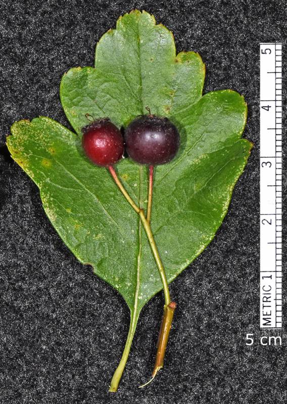
Photo © 2020 Gerald D. Carr. Usage restrictions: Photos may be used without prior permission for strictly personal use or classroom instruction. Prior permission is required for any profit-seeking or commercial use, including books, printed material, computer programs, web sites, or any use in which the photos will be publicly accessible. (Contact the photographer.)
Photo metadata:
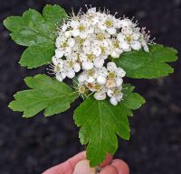
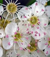
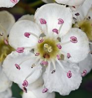
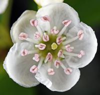
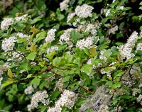
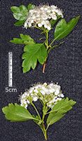
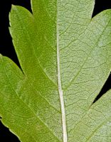
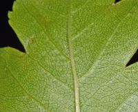
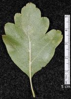
Original identification: Crataegus cogswellii
Current identification: Crataegus cogswellii
Photographer: Gerald D. Carr
Date Photographed: August 1, 2020
Location: U.S.A., Oregon, Benton County: Corvallis. At junction of trail to north end of cemetery with East-West trail ca. 55 yds. south of SE Fischer Lane.
Elevation: 222 ft.
Coordinates: 44.55024° N, 123.25513° W
Uncertainty: 20 m.
Datum: WGS 84
Coordinate Source: GPS
Phenology: Fruits

