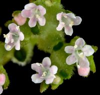
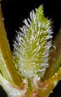
(log in to access this feature)
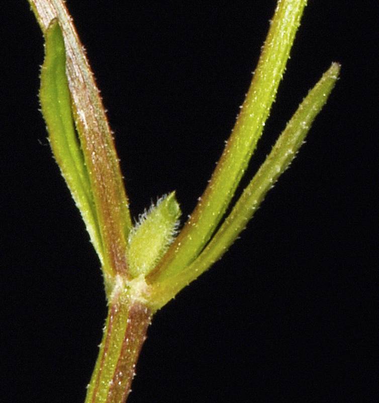
Photo © 2018 Gerald D. Carr. Usage restrictions: Photos may be used without prior permission for strictly personal use or classroom instruction. Prior permission is required for any profit-seeking or commercial use, including books, printed material, computer programs, web sites, or any use in which the photos will be publicly accessible. (Contact the photographer.)
Photo metadata:
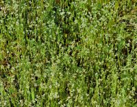
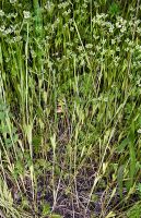
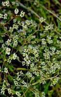
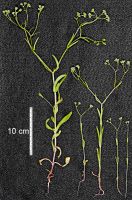
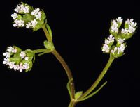
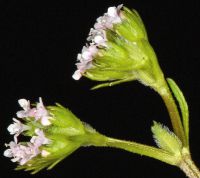
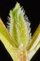
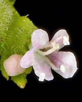
Original identification: Valerianella eriocarpa
Current identification: Valerianella eriocarpa
Photographer: Gerald D. Carr
Date Photographed: May 23, 2018
Location: U.S.A., Oregon, Benton County: Along trail ca. 250 ft. ENE of parking area at dead end of NW Huckleberry Dr., ca. 0.2 mi. NE of jct. with NW 29th St.
Elevation: 320
Coordinates: 44.60016° N, 123.28429° W
Phenology: Vegetative

