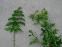
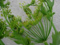
(log in to access this feature)
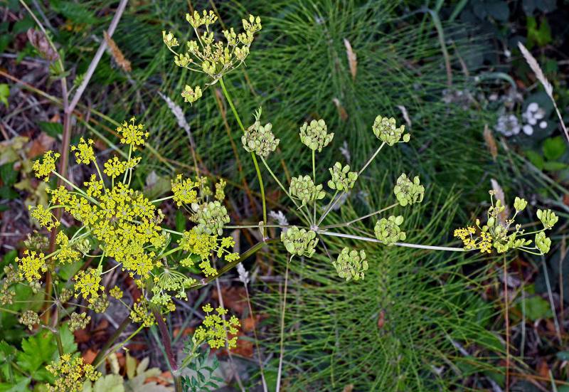
Photo © 2015 Gerald D. Carr. Usage restrictions: Photos may be used without prior permission for strictly personal use or classroom instruction. Prior permission is required for any profit-seeking or commercial use, including books, printed material, computer programs, web sites, or any use in which the photos will be publicly accessible. (Contact the photographer.)
Photo metadata:
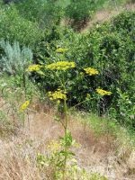
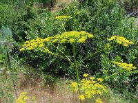
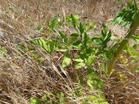
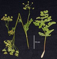
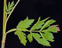
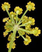
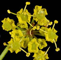
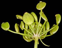
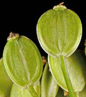
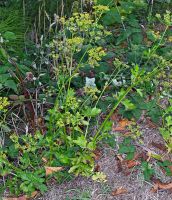
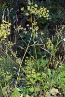
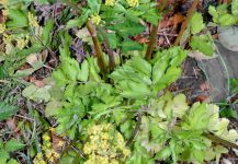
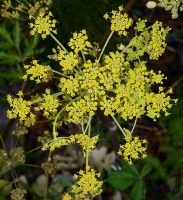
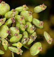
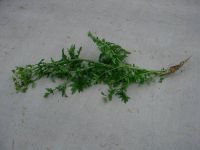
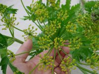
Original identification: Pastinaca sativa
Current identification: Pastinaca sativa
Photographer: Gerald D. Carr
Date Photographed: July 31, 2015
Location: U.S.A., Oregon, Curry County: Where the W shoulder of Hwy 101 joins the S shoulder of E Freeman Lane, 1 mi. N of OR-CA border.
Elevation: 75 ft.
Coordinates: 42.01191° N, 124.21502° W
Phenology: Flowers and Fruits

