(log in to access this feature)

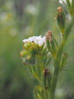
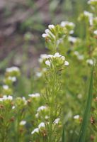
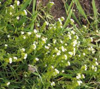
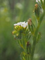
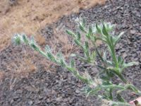
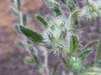
Photo © 2015 Gerald D. Carr. Usage restrictions: Photos may be used without prior permission for strictly personal use or classroom instruction. Prior permission is required for any profit-seeking or commercial use, including books, printed material, computer programs, web sites, or any use in which the photos will be publicly accessible. (Contact the photographer.)
Photo metadata:
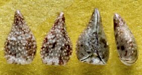
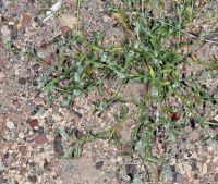
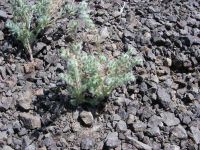
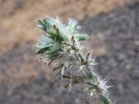
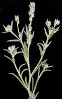
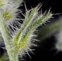
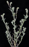
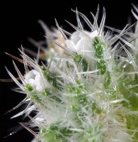
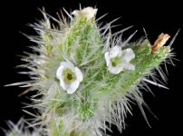
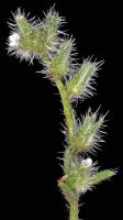
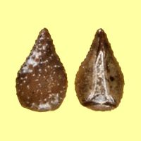
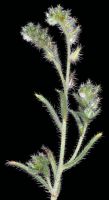
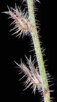
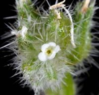
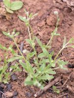
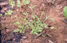
Original identification: Cryptantha ambigua
Current identification: Cryptantha ambigua
Photographer: Gerald D. Carr
Date Photographed: July 26, 2015
Location: U.S.A., Oregon, Klamath County: Hwy 97, MP 210, just S of Beaver Marsh, 3.1 mi. N of Diamond Lake Junction.
Elevation: 4633 ft.
Coordinates: 42.12395° N, 121.80735° W
Phenology: Fertile

