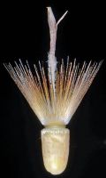
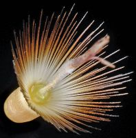
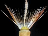
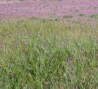
(log in to access this feature)

Photo © 2015 Gerald D. Carr. Usage restrictions: Photos may be used without prior permission for strictly personal use or classroom instruction. Prior permission is required for any profit-seeking or commercial use, including books, printed material, computer programs, web sites, or any use in which the photos will be publicly accessible. (Contact the photographer.)
Photo metadata:
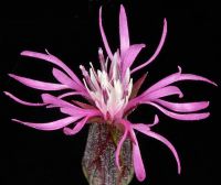
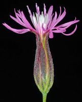
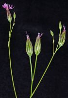
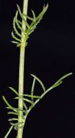
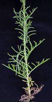
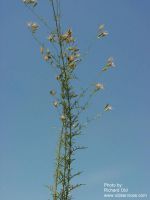
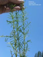
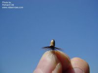
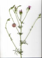
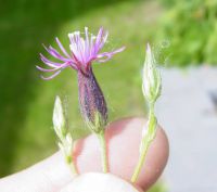
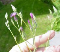
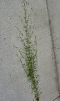
Original identification: Crupina vulgaris
Current identification: Crupina vulgaris
Photographer: Gerald D. Carr
Date Photographed: May 31, 2015
Location: U.S.A., Oregon, Umatilla County: CR 6 28 Rd., 4.1 mi. SE of Hwy 11 via Blue Mt. Station Rd., SSE of Milton-Freewater.
Elevation: 2243 ft.
Coordinates: 45.84081° N, 118.35224° W
Phenology: Fruits


