(log in to access this feature)
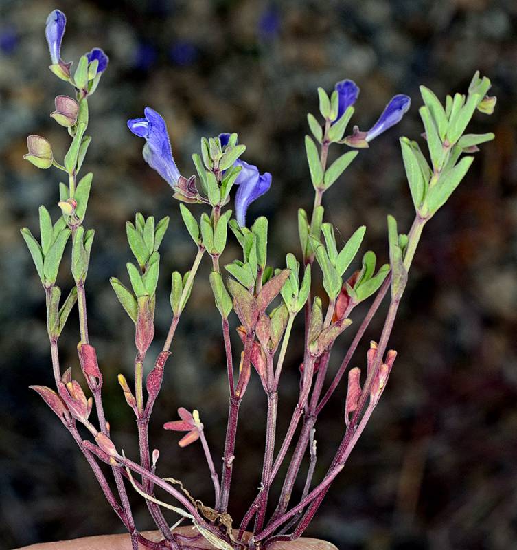
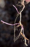
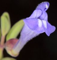
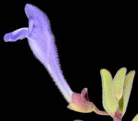
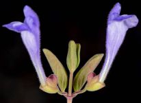
Photo © 2014 Gerald D. Carr. Usage restrictions: Photos may be used without prior permission for strictly personal use or classroom instruction. Prior permission is required for any profit-seeking or commercial use, including books, printed material, computer programs, web sites, or any use in which the photos will be publicly accessible. (Contact the photographer.)
Photo metadata:
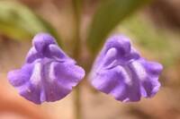
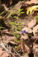
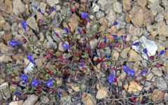
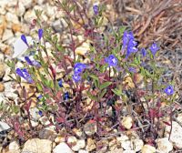
Original identification: Scutellaria angustifolia ssp. micrantha
Current identification: Scutellaria angustifolia ssp. micrantha
Photographer: Gerald D. Carr
Date Photographed: May 17, 2014
Location: U.S.A., Oregon, Malheur County: Lower SW facing slope of hill on N side of unnamed rd., 2 1/4 mi. NW of jct. with Hwy 20 via Robby Copeland Rd., ca. 4 mi. SW of Harper.
Elevation: 2800 ft.
Coordinates: 43.8357° N, 117.67568° W
Phenology: Flowers and Fruits

