(log in to access this feature)
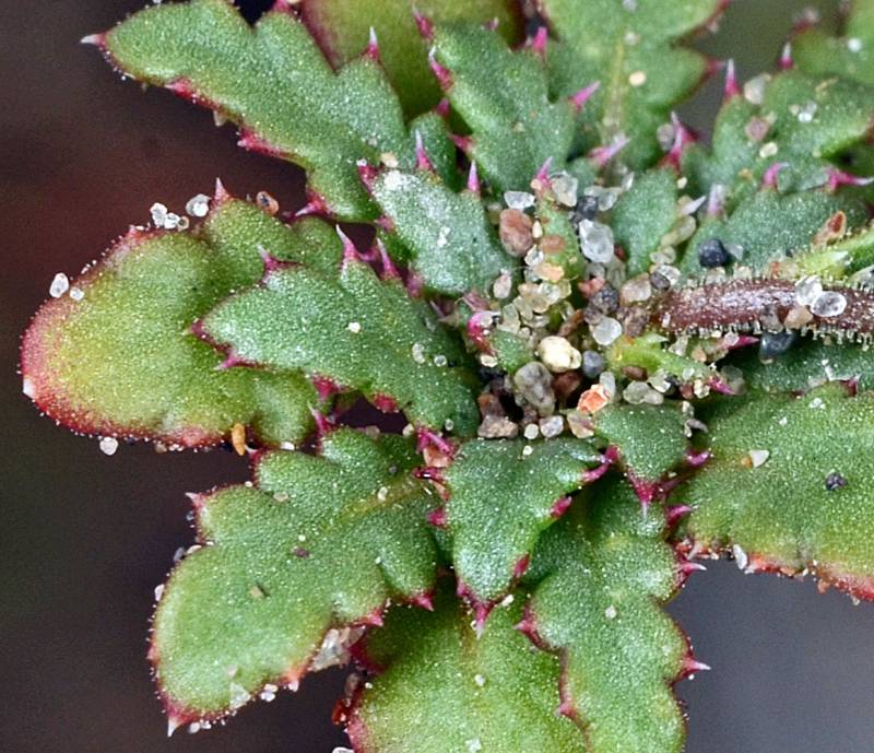
Photo © 2014 Gerald D. Carr. Usage restrictions: Photos may be used without prior permission for strictly personal use or classroom instruction. Prior permission is required for any profit-seeking or commercial use, including books, printed material, computer programs, web sites, or any use in which the photos will be publicly accessible. (Contact the photographer.)
Photo metadata:
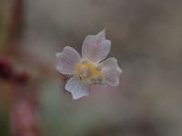
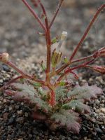
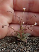
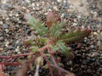
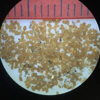
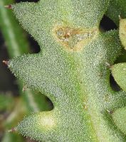
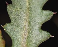
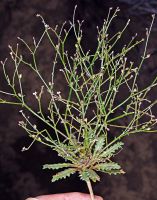
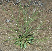
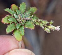
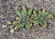
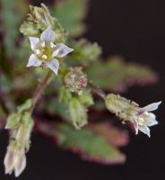
Original identification: Aliciella leptomeria
Current identification: Aliciella leptomeria
Photographer: Gerald D. Carr
Date Photographed: May 16, 2014
Location: U.S.A., Oregon, Malheur County: W of Hwy 95, 7.1 mi. S of Burns Jct., S of Crooked Creek.
Elevation: 3857 ft.
Coordinates: 42.67625° N, 117.86479° W
Phenology: Vegetative


