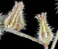
(log in to access this feature)
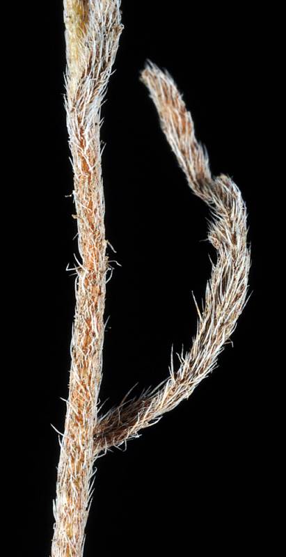
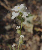
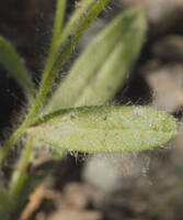
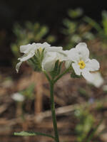
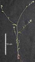
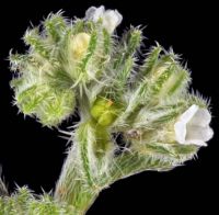
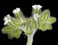
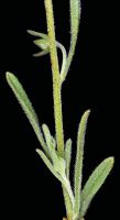
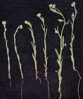
Photo © 2011 Robert L. Carr. Please contact the photographer to request permission to use this photo. If the photographer cannot be reached, inquire with the Collections Manager.
Photo metadata:
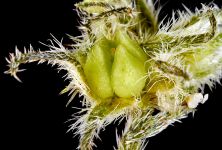
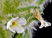
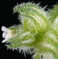
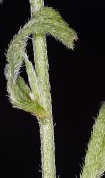
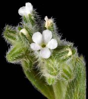
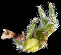
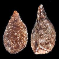
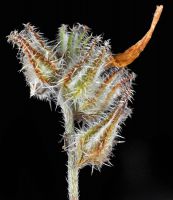
Original identification: Cryptantha simulans
Current identification: Cryptantha simulans
Photographer: Robert L. Carr
Date Photographed: July 11, 2011
Location: U.S.A., Washington, Ferry County: Along the trail between Trout & Emerald Lakes, N of Hwy 20, ca. 9 air mi. WNW of Kettle Falls.
Elevation: [not provided]
Coordinates: 48.634527°, -118.246397°
Uncertainty: 1000 m.
Datum: WGS 84
Coordinate Source: Digital Map
Phenology: Vegetative

