(log in to access this feature)
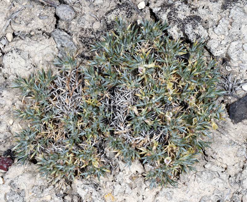
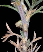
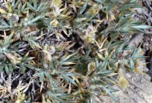
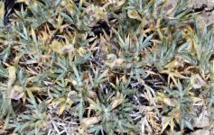
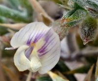
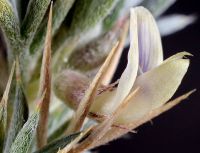
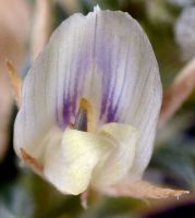
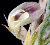
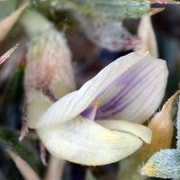
Photo © 2013 Gerald D. Carr. Usage restrictions: Photos may be used without prior permission for strictly personal use or classroom instruction. Prior permission is required for any profit-seeking or commercial use, including books, printed material, computer programs, web sites, or any use in which the photos will be publicly accessible. (Contact the photographer.)
Photo metadata:
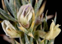
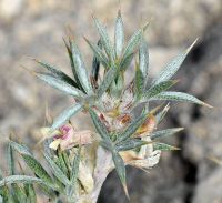
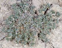
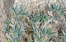
Original identification: Astragalus kentrophyta
Current identification: Astragalus kentrophyta
Photographer: Gerald D. Carr
Date Photographed: June 1, 2013
Location: U.S.A., Oregon, Malheur County: near summit of chalk hill above NE side of Harper-Westfall Rd., 6.3 mi. NW of Harper.
Elevation: 2935 ft.
Coordinates: 43.93165° N, 117.66257° W
Phenology: Fertile

