(log in to access this feature)

Photo © 2013 Gerald D. Carr. Usage restrictions: Photos may be used without prior permission for strictly personal use or classroom instruction. Prior permission is required for any profit-seeking or commercial use, including books, printed material, computer programs, web sites, or any use in which the photos will be publicly accessible. (Contact the photographer.)
Photo metadata:
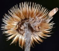
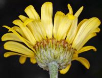
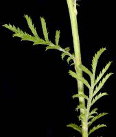
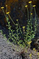
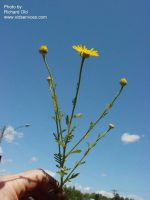
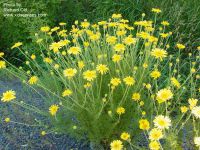
Original identification: Anthemis tinctoria
Current identification: Cota tinctoria
Photographer: Gerald D. Carr
Date Photographed: July 11, 2013
Location: U.S.A., Oregon, Crook County: Ochoco Ranger Rd., 7.1 mi. NE of jct. with Hwy 26, ENE of Prineville.
Elevation: 3890 ft.
Coordinates: 44.39006° N, 120.44523° W
Phenology: Vegetative


