(log in to access this feature)
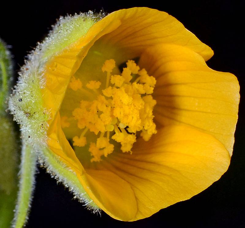
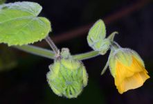
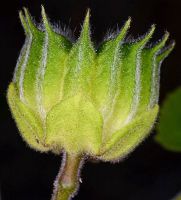
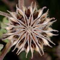
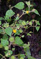
Photo © 2013 Gerald D. Carr. Usage restrictions: Photos may be used without prior permission for strictly personal use or classroom instruction. Prior permission is required for any profit-seeking or commercial use, including books, printed material, computer programs, web sites, or any use in which the photos will be publicly accessible. (Contact the photographer.)
Photo metadata:
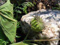
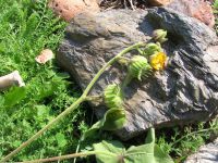
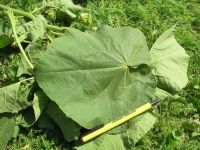
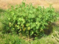
Original identification: Abutilon theophrasti
Current identification: Abutilon theophrasti
Photographer: Gerald D. Carr
Date Photographed: September 5, 2013
Location: U.S.A., Oregon, Lane County: Territorial Rd., 1.1 mi. N of jct. with Hwy 36 at Cheshire.
Elevation: 322 ft.
Coordinates: 44.20569° N, 123.28658° W

