(log in to access this feature)
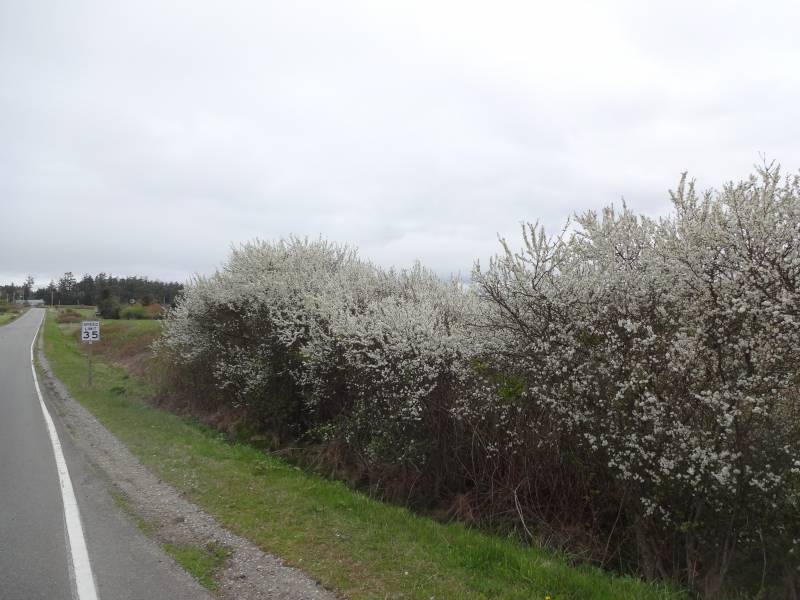
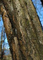
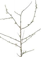
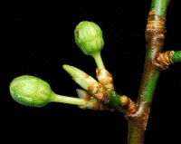
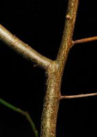
Photo © 2014 Lex Voorhoeve. Please contact the photographer to request permission to use this photo. If the photographer cannot be reached, inquire with the Collections Manager.
Photo metadata:
Original identification: Prunus cerasifera
Current identification: Prunus cerasifera
Photographer: Lex Voorhoeve
Date Photographed: April 8, 2014
Location: U.S.A., Washington, Island County: Whidbey Island. Just north of Ft. Casey. Intersection of S. Fort Casey Road and South Engle Road.
Elevation: [not provided]
Coordinates: 48.163884° N, 122.67866° W
Uncertainty: 250 m.
Datum: WGS 84
Coordinate Source: Digital Map
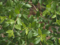
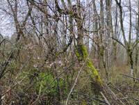
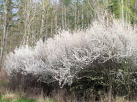
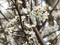
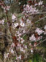
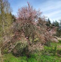
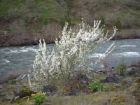
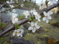
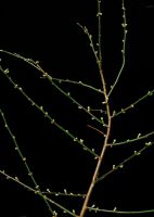
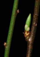
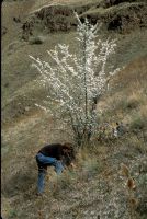
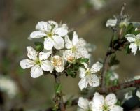
Comments: Plants to 3 meters tall forming a dense thicket. Flowers white. Possible hybrid with P. spinosa; awaiting fruit collection for positive identification.
Voucher Specimen: Lex Voorhoeve s.n., WTU Herbarium

