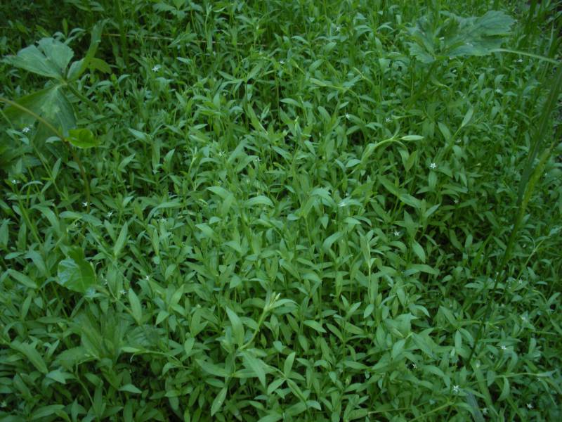
Original identification: Stellaria alsine
Current identification: Stellaria alsine
Photographer: Clayton J. Antieau
Date Photographed: June 30, 2013
Location: U.S.A., Washington, King County: Seattle, at the west roadend of Northeast 100th Street, west of South Branch Thornton Creek. NW quarter Section 33, Township 26 North, Range 4 East.
Elevation: 160 ft.
Coordinates: 47.702° N, 122.30815° W
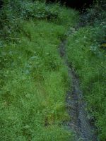
Comments: Growing in extensive, dense mats on the driveway to the former residential structure at 1730 Northeast 100th Street, Seattle (King County Tax Parcel 5101405675). Structure was demolished in 2007 but the driveway and portions of foundation remain in 2013 and are now perennially saturated with flowing water from adjacent springs. This water flows into nearby South Branch Thornton Creek. Property is now owned by Seattle Public Utilities, which is proposing to modify this parcel and adjacent parcels to construct their Knickerbocker Floodplain Reconnection Project in 2014. Growing with Ranunculus repens, Oenanthe sarmentosa, and Salix spp. in saturated and ponded areas under mature second-growth upland canopy of Acer macrophyllum, Pseudotsuga menziesii, Thuja plicata, Tsuga heterophylla, and Rubus armeniacus. Succulent, delicate, herbaceous perennial growing in extensive, dense mats 10 to 20 cm high; mats present and actively growing through much of the winter; stems long, decumbent, and rooting at nodes; flowers generally apetalous but sometimes with five white petals; uncommon. Phenology: Flowers and fruits.
Voucher Specimen: Clay Antieau s.n., WTU Herbarium


