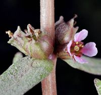
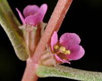
(log in to access this feature)
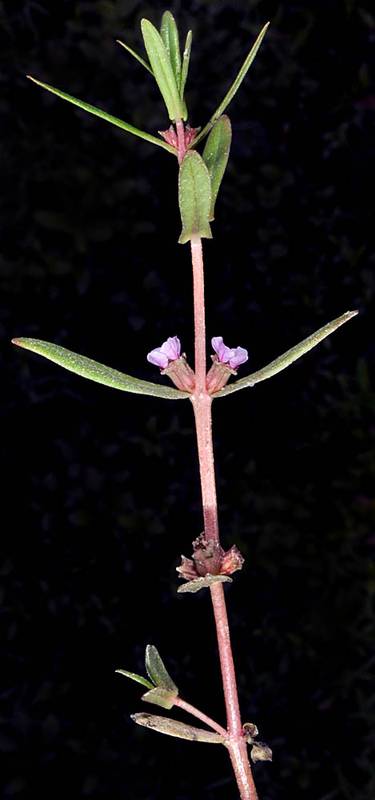
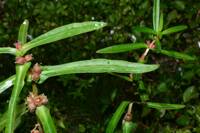
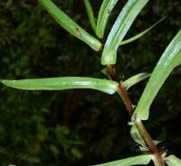
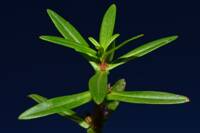
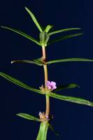
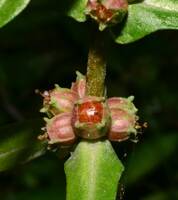
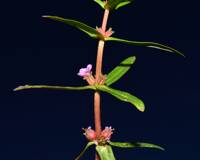
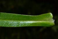
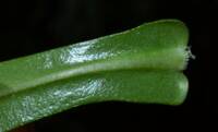
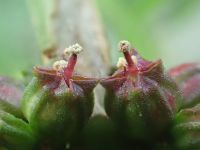
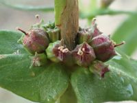
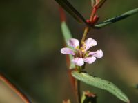
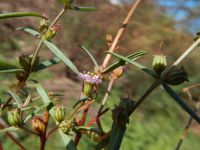
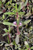
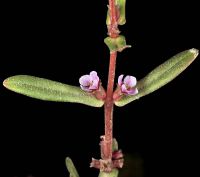
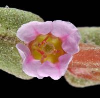
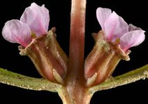
Photo © 2009 Gerald D. Carr. Usage restrictions: Photos may be used without prior permission for strictly personal use or classroom instruction. Prior permission is required for any profit-seeking or commercial use, including books, printed material, computer programs, web sites, or any use in which the photos will be publicly accessible. (Contact the photographer.)
Photo metadata:
Original identification: Ammannia robusta
Current identification: Ammannia robusta
Photographer: Gerald D. Carr
Date Photographed: September 2, 2009
Location: U.S.A., Oregon, Wasco County: E side of mouth of Threemile Creek, 0.43 air mi. W of jct. of Lone Pine Drive and Hwy 197, Oregon.
Elevation: 80 ft.
Coordinates: N45.60409, W121.14705

