(log in to access this feature)

Photo © 2006 Gerald D. Carr. Usage restrictions: Photos may be used without prior permission for strictly personal use or classroom instruction. Prior permission is required for any profit-seeking or commercial use, including books, printed material, computer programs, web sites, or any use in which the photos will be publicly accessible. (Contact the photographer.)
Photo metadata:
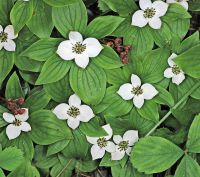
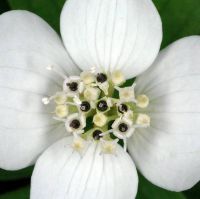
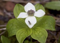
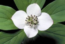
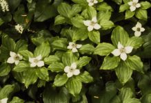
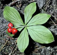
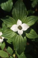
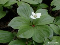
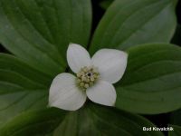
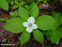
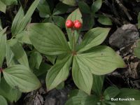
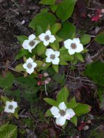
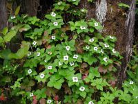
Original identification: Cornus unalaschkensis
Current identification: Cornus canadensis
Photographer: Gerald D. Carr
Date Photographed: June 30, 2006
Location: U.S.A., Washington, Ferry County: Hwy 20, near intersection with S Fork Sherman Cr. Rd., 13.7 mi. WSW of Kettle Falls.
Elevation: [not provided]
Coordinates: 48.579122°, -118.291804°
Uncertainty: 1500 m.
Datum: WGS 84
Coordinate Source: Digital Map
Annotation History:
Cornus canadensis
David Giblin, March 11th, 2024

