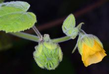
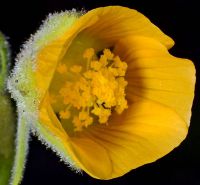
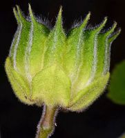
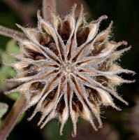
(log in to access this feature)
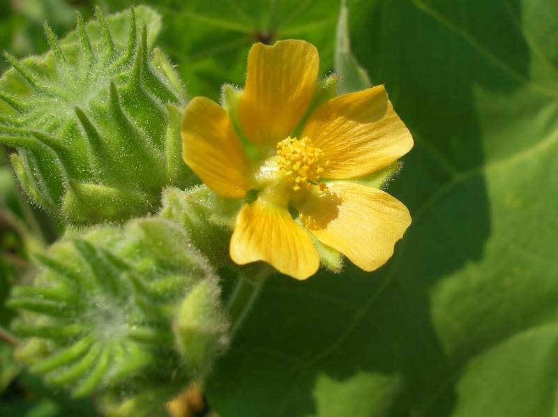
Photo © 2006 Don Knoke. Please contact the photographer to request permission to use this photo. If the photographer cannot be reached, inquire with the Collections Manager.
Photo metadata:
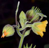
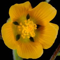
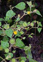
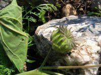
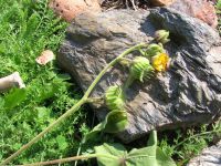
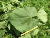
Original identification: Abutilon theophrasti
Current identification: Abutilon theophrasti
Photographer: Don Knoke
Date Photographed: August 17, 2006
Location: U.S.A., Washington, Kittitas County: Former pig farm near junction of North Thorp Highway and SR 10.
Elevation: [not provided]
Coordinates: 47.10105°, -120.71115°
Uncertainty: 4 m.
Datum: WGS 84
Coordinate Source: Voucher
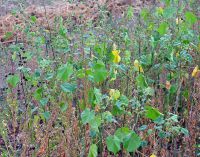
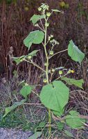
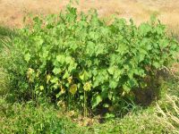
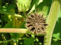
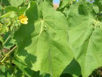
Comments: Small, dense population; plants to 6 feet in height.
Voucher Specimen: Don Knoke 1155, WTU Herbarium

