(log in to access this feature)
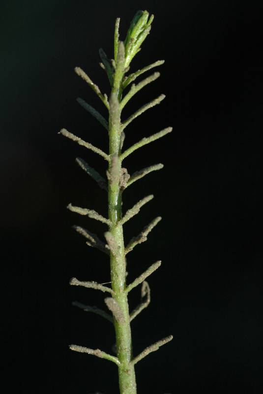
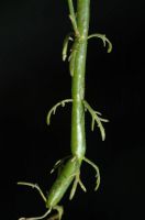
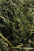
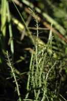
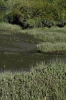
Photo © 2005 Ben Legler. Usage restrictions: Photos may be used without prior permission for strictly personal use or classroom instruction. Prior permission is requested for any other usage, whether educational, non-profit, or commercial, including books, printed material, computer programs, web sites, or any use in which the photos will be publicly accessible. (Contact the photographer.)
Photo metadata:
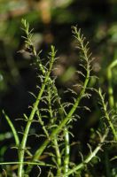
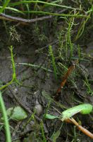
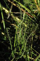
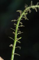
Original identification: Myriophyllum ussuriense
Current identification: Myriophyllum ussuriense
Photographer: Ben Legler
Date Photographed: August 31, 2005
Location: U.S.A., Washington, Wahkiakum County: Edge of slough near Cathlamet.
Elevation: [not provided]
Coordinates: 46.21754°, -123.390479°
Uncertainty: 1500 m.
Datum: WGS 84
Coordinate Source: Digital Map

