|
|||||||
|
© 2003 Washington Carex Group & WTU Herbarium |
|
||||||||||
|
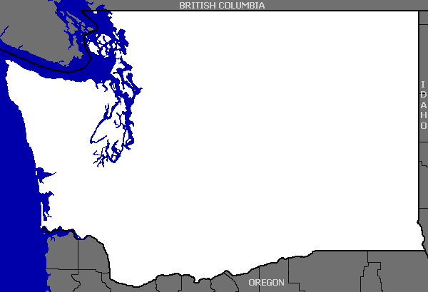
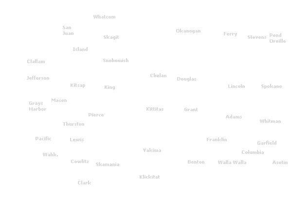
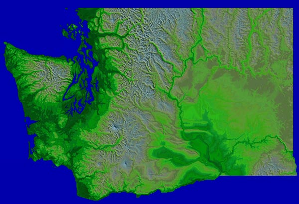
This is the mapping page for the Washington Carex Atlas. Not all intended features have been implemented. Work on the atlas is currently being done on a volunteer basis. Select a species from the list on the left side of the screen to show its distribution on the map above. Two or more species can be displayed on the same map by selecting the plus (+) sign next to each species name. Try the Advanced Search tab for more mapping options. Please note: all rare Carex specimens have been stripped of their locality text and the latitued/longitude coordinates have been randomly displaced from the true location. Project participants: Ben Legler - database and website development, specimen georeferencing. Fred Weinmann - specimen data entry, working on updating taxonomy. Peter Zika - working on updating taxonomy of specimens used in atlas. |
||||||||||